Imagine sipping coffee as ospreys circle above the Yellowstone, cottonwoods rustle, and the Absarokas glow pink at sunrise. If you are drawn to a life shaped by a legendary river, Paradise Valley delivers big scenery and everyday access to the outdoors. At the same time, river living comes with real details to understand, from public access to spring runoff and permits. This guide walks you through the lifestyle, the practical checks, and what to expect as a buyer. Let’s dive in.
Paradise Valley at a glance
Paradise Valley stretches along the Yellowstone River between Gardiner near Yellowstone National Park’s North Entrance and the town of Livingston. US Highway 89 follows the river, linking neighborhoods, ranches, and fishing access points. Livingston is the local service hub, and many residents pair that small-town base with Bozeman’s larger amenities and airport to the west.
River recreation and access
The upper Yellowstone is known for trout fishing, scenic floats, and a network of public access points. Montana Fish, Wildlife & Parks maintains Fishing Access Sites, with familiar names like Grey Owl and Mallard’s Rest in the valley and several sites in and around Livingston. You will see drift boats most months and wade anglers when flows settle after spring runoff.
- Explore public launch and takeout options in the official Fishing Access Sites guide from Montana FWP. You can view locations and site details in the statewide guide from Montana Fish, Wildlife & Parks.
Know Montana’s stream access rules
Montana’s Stream Access Law allows the public to use surface waters capable of recreation up to the ordinary high-water mark. That means if you own riverfront land, you control your uplands, but the public may legally use the river corridor below that line. Title, local ordinances, and easements still govern how people cross land to reach the river and where you can place stairs or docks. It is smart to review surveys, recorded easements, and local rules early in your due diligence.
- Read the statutory framework for stream access in Montana’s code for full context.
Wildlife and seasonal rhythms
Living along the Yellowstone puts you inside the Greater Yellowstone Ecosystem. Expect regular sightings of eagles, ospreys, waterfowl, and sometimes elk or deer moving through open fields in winter. Large carnivores occur in the broader region, so bear-aware habits matter. Secure food and trash, understand fencing for pets and livestock, and follow any seasonal closures or advisories.
Understanding the river’s pulse
The Yellowstone is a snowmelt-driven river. Flows build through spring and peak in early summer, then drop to lower, clearer conditions that many anglers prefer. The long-term USGS streamgage at Corwin Springs is the go-to reference for real-time flows and historical peaks.
The June 2022 high-water event is a fresh reminder that extreme floods can occur. In addition to checking FEMA flood maps for regulatory flood zones, review local channel migration mapping that shows where the river may naturally shift over decades. In Paradise Valley, Park County’s floodplain office, FEMA’s Map Service Center, and the county’s channel migration studies are essential references.
- Check the USGS Corwin Springs streamgage for real-time flows and peak history.
- See Park County’s floodplain resources for permits and county guidance.
- Look up a parcel in FEMA’s Map Service Center for SFHA panels.
- Review Park County’s channel migration report for long-term river movement risk.
Flood insurance and lender requirements
Standard homeowners insurance does not cover flood damage. Flood insurance is available through FEMA’s National Flood Insurance Program and some private carriers. Lenders often require flood insurance if a home sits in a mapped Special Flood Hazard Area. Many advisors suggest getting a quote even when a structure lies outside a mapped zone, since flooding can occur beyond the lines. Get quotes early and review any elevation certificate, prior claims, or seasonal photos from the seller.
- Learn how eligibility and coverage work at FloodSmart, FEMA’s official resource.
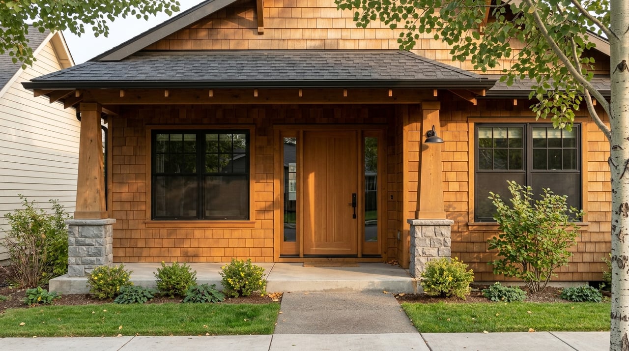
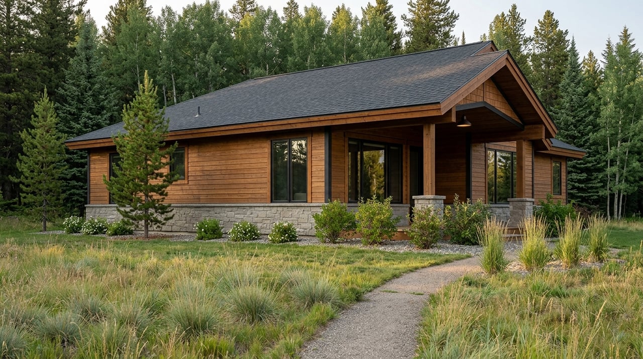
Property styles and the market picture
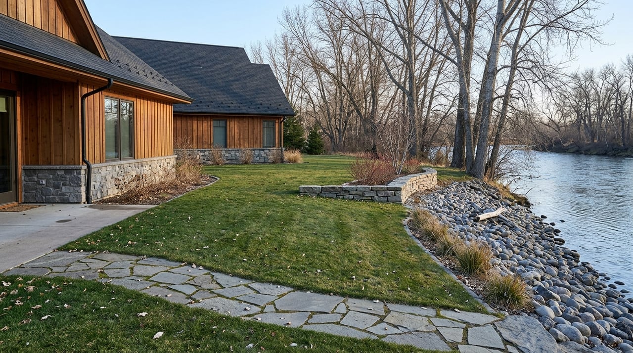
Along the river you will find small river-lot cabins and cottages, renovated historic homes, custom mountain houses, and larger legacy ranches with long stretches of frontage. Spring-creek parcels near Livingston are a distinct premium category prized by anglers. Marketing often highlights feet of river frontage, private stairs or trails, and outbuildings like boat sheds or shops.
Montana is a non-disclosure state, so public sold-price feeds are incomplete. Town or county median prices you see online do not reflect riverfront premiums. Expect river properties to trade higher than in-town medians due to frontage, acreage, and amenity value. A local MLS-based analysis tailored to your search will give you the clearest picture of value.
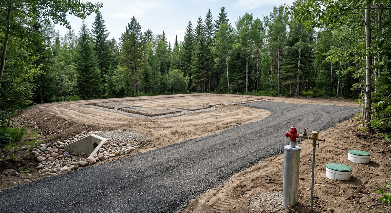
Permits, water rights, wells, and septic
Water rights in Montana are a separate property interest. Owning land on the river does not automatically convey irrigation or diversion rights. Ask for DNRC abstracts for any claimed rights and confirm points of diversion. For drinking water and wastewater, review well logs, recent water-quality tests, septic permits, and site evaluations on file with Park County Environmental Health. If you plan streambank work, stairs, or in-channel improvements, factor in timelines for state and federal permits.
- Start with an overview of Montana water rights from MSU Extension.
- Many stream projects require 310 permitting. Visit DNRC’s stream permitting page to learn what work needs review.
Conservation easements and open space
Paradise Valley includes large conserved properties that protect wildlife habitat, working lands, and views. Easements are voluntary agreements that can limit subdivision or certain types of development while keeping land in private ownership. Terms vary by property. If a parcel has an easement, read it closely and speak with the easement holder to understand allowed uses, building envelopes, and any transfer steps.
- See an example of recent conservation work in the Mill Creek area from Gallatin Valley Land Trust.
Access and infrastructure realities
In June 2022, high water damaged roads and bridges in parts of the valley and temporarily closed sections of US 89. That event highlighted the importance of bridge conditions, driveway design, culverts, and alternate routes. When you evaluate a property, check recorded maintenance agreements, county or MDT project plans, and winter plowing practices for your specific road segment.
- For current road information and public meeting updates, visit MDT’s Paradise Valley project page.
Quick buyer checklist for riverfront due diligence
Use this summary to focus your early steps:
- Confirm FEMA flood zone at FEMA’s Map Service Center and talk with Park County’s floodplain office about permits and file history.
- Review the channel migration report for your river reach and consider a geomorphology consult for parcels near active banks.
- Get flood insurance quotes early and request any elevation certificate and past flood or erosion documentation from the seller.
- Verify water-rights abstracts, well logs, and septic permits; schedule water-quality testing and a septic inspection.
- Read any conservation easement or deed restrictions and contact the easement holder with questions.
- Walk the property in different seasons if possible. Ask neighbors about winter access, plowing, and typical spring runoff behavior.
Ready to explore properties?
If life along the Yellowstone is calling, a grounded plan will help you protect what you love about the river while buying with confidence. From riverfront cottages to acreage with spring-creek access, thoughtful due diligence on floods, permits, and infrastructure pays dividends. If you want a calm, technically informed partner to help you evaluate options and align your purchase with your goals, connect with Mark Meissner.
FAQs
What and where is Paradise Valley in Montana?
- Paradise Valley follows the Yellowstone River between Gardiner near Yellowstone National Park’s North Entrance and Livingston, with US 89 as the main road corridor.
Do I get private fishing if I own riverfront in Paradise Valley?
- You control your upland parcel, but under Montana’s Stream Access Law the public may use the river up to the ordinary high-water mark; verify access points, easements, and local rules.
How risky is flooding along the Yellowstone near Paradise Valley?
- The river peaks in late spring and early summer, and 2022 showed that extreme events can occur; review FEMA flood maps, county floodplain files, and channel migration mapping before deciding risk.
What should I know about water rights on a river parcel?
- Water rights are separate from land title; confirm DNRC abstracts, points of diversion, and historic use, and review well and septic records with Park County Environmental Health.
How do conservation easements affect a purchase in Paradise Valley?
- Easements can limit subdivision or certain development while keeping land private; review the recorded document to understand allowed uses and any building envelopes.